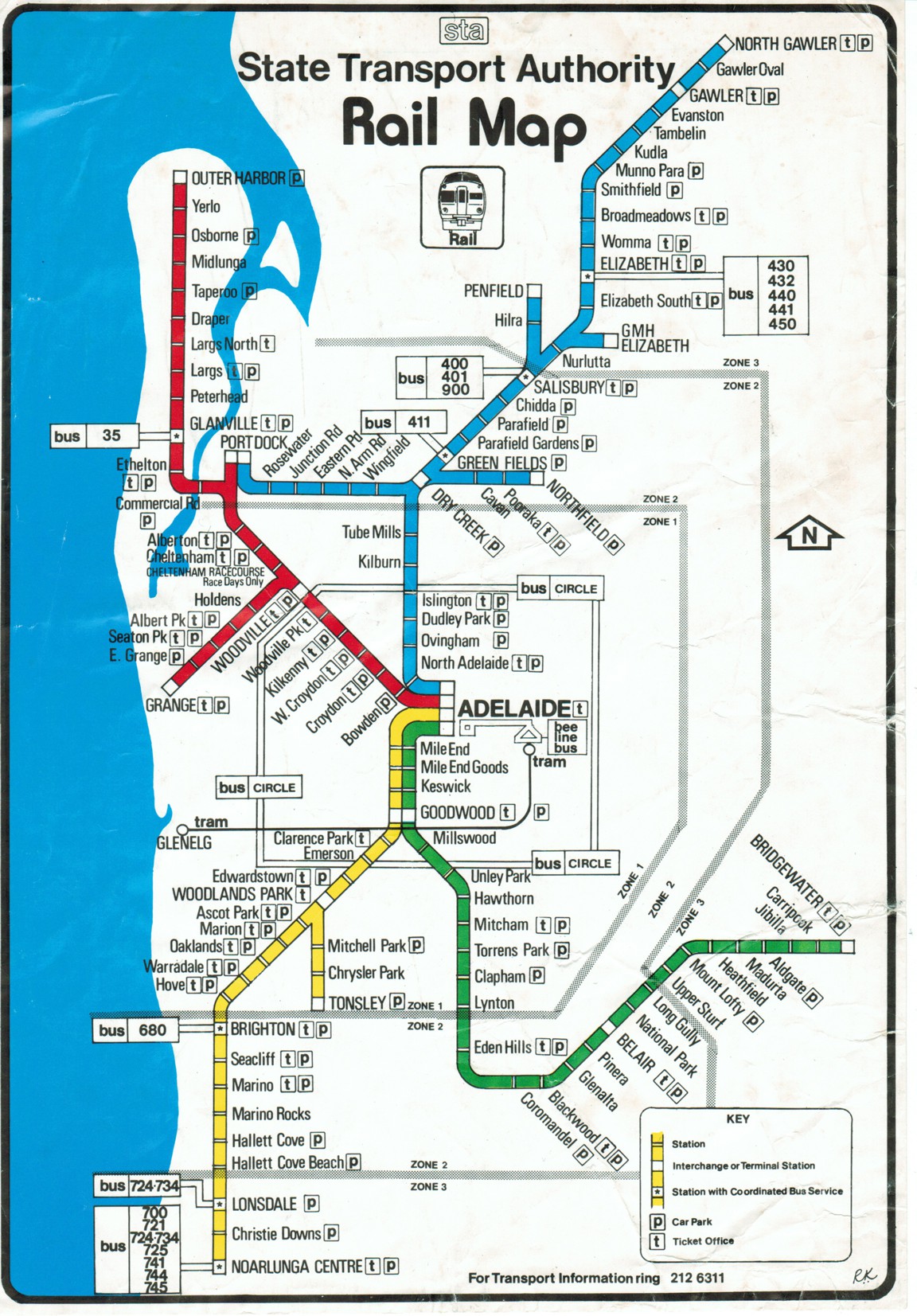
adelaide rail map 1980
Adelaide trains, 1980
Find out more ⤑
This is a map of the Adelaide suburban rail network in 1980 when services were provided by the State Transport Authority (STA).
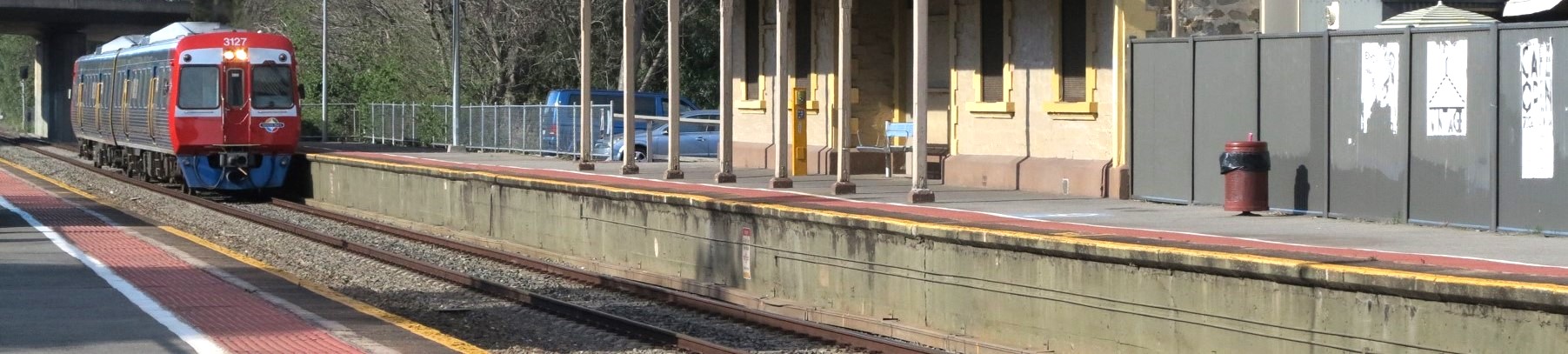
All services were operated by diesel multiple unit railcars - either the venerable Redhens or the then new 2000 series Jumbo railcars - an impression of which appears under the map heading.
The line to the South-West shown here as running only as far as Noarlunga Centre has since been electrified and extended to Seaford.
The Tonsley line has since been electrified and extended to Flinders, the former Tonsley station has closed and the station shown here as Chrysler Park was subsequently renamed Clovelly Park but is now known as Tonsley.
North Gawler station has since been renamed Gawler Central and the line from there to Adelaide has also been electrified.
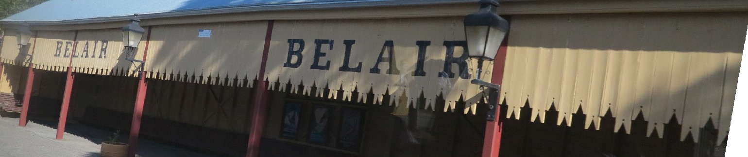
On the other side of the ledger, this map shows a number of lines that are no longer served by passenger trains. The Hills line to the south-east is shown in this map as running all the way to Bridgewater. However these days it runs no further than Belair.
In the northern suburbs, some of the industrial railways were still then operating: Nurlutta to GMH Elizabeth; Salisbury to Penfield; Dry Creek to Northfield; Alberton to Port Dock and the Port Dock to Dry Creek cross suburban line.
Interestingly, the Alberton to Port Dock section has been reconstructed and now again appears on the Adelaide train map.
The station on the Outer Harbor line shown here as Commercial Road has was subsequently renamed and today we know it as Port Adelaide.
The map shows a number of stations that have since closed including: Mile End Goods; Keswick; Hawthorn and Clapham on the South line; Holdens on the Grange line; Cheltenham Racecourse and Yerlo on the Outer Harbor line; and Tube Mills on the Gawler line.
New stations that have since opened on existing lines include those at Adelaide Showground, St Clair, North Haven and Mawson Interchange.
The tram line is shown running from Glenelg only as far as Victoria Square and the connecting Bee Line bus to Adelaide station is shown. The tram has since been extended northward replacing the Bee Line bus, and trams now run to Entertainment Centre, Festival Plaza and Botanic Gardens.
Australian Rail Maps © 1996-2026