western australia rail map
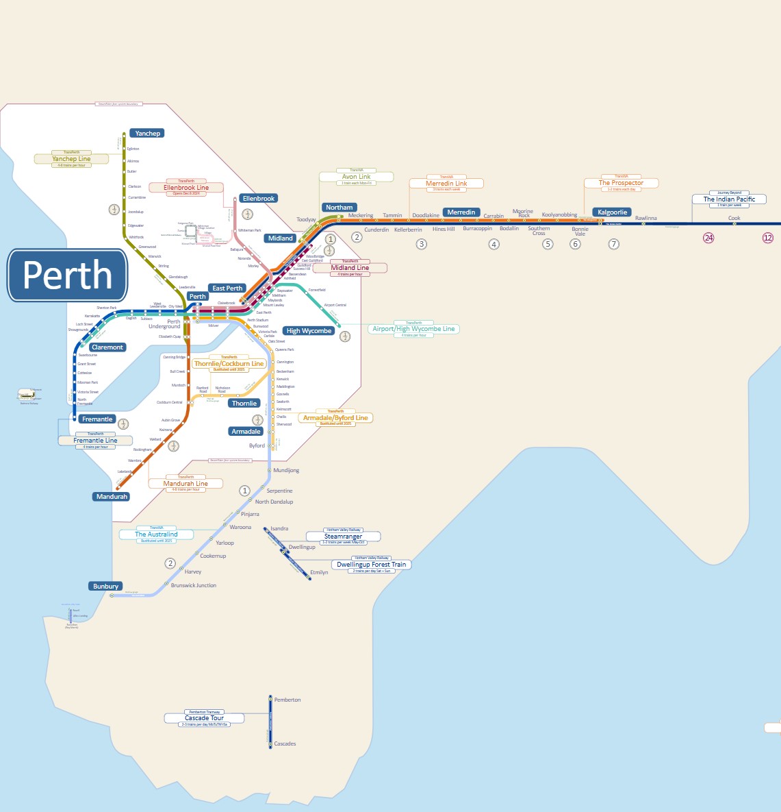
Map of passenger trains in Western Australia
Find out more ⤑
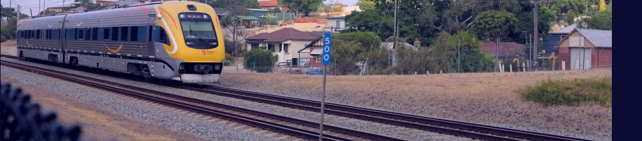
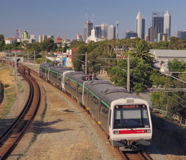
The State of Western Australia occupies the western one third of the Australian mainland. The most populated area of the State is in the south-west corner where the capital city of Perth and other cities are located. Perth has a network of modern electric suburban trains run by TransPerth, and longer distance passenger trains run by TransWA run to Northam, Merredin and Kalgoorlie in the east and to Bunbury in the south. Apart from those two long distance main lines, surface transport to towns in the south west of WA is provided by road buses, many of which are also run by TransWA and which are timed to connect with trains.
Train connections to the eastern States of Australia are limited to the once weekly Indian Pacific luxury train which arrives and departs from East Perth Terminal station.
About us.
Since 1996 Australian Rail Maps has published online maps, timetables and journey planners to help visitors, residents, commuters and travellers get the most from Australia's extensive but un-integrated train, tram, bus and ferry networks.
I am not associated with any transport operators and until 2026, most income came from website advertising.
Train travel, and public transport generally, has so much potential, and I want to share the possibilites with everyone. Enjoy your travels.
This website is now proudly Advertising Free. If you would like to support its ongoing operation, every contribution at my
Ko-Fi page really does help.
Follow me on
Patreon at no cost to get regular posts, discussions and alerts of changes to the website. And, for a modest montly fee, you can contribute to the upkeep of the site and get sneak peeks at upcoming projects, influence the design of maps and you can ask me to add
any new timetable!
This website is now proudly free from all advertising.
Australian Rail Maps © 1996-2026